Archive
History
Academic and early-career work migrated from the old personal site — archaeology field experience, the 2007 master's thesis, printed cartography, and early Python GIS experiments.
Master's thesis
University of Tennessee, 2007
An Analysis of the Spatial Distribution of Chiefdom Settlements: Modeling the Mississippian Culture in the Tennessee River Valley
Abstract
Location-allocation models based on optimization criteria are appropriate tools for the analysis of archaeological settlement patterns. In early agricultural societies, elite classes might maximize their control of the population and resources by optimally situating their primary settlements. Location-allocation models can simulate the multiple factors that potentially underlie settlement site location decisions. I describe several maximal covering models and their applicability to understand the degree of political centralization in the Upper Tennessee River Valley during several Mississippian archaeological cultural phases (900 to 1600 A.D.). My results support the notion that the main objective of the Mississippian elite in choosing sites for administrative centers was to maximize control of the local population and the supporting agricultural economy. The results also support the work of anthropologists and archaeologists regarding the variable degrees of political complexity during time periods of the Mississippian culture. Cultures during the earliest time period (1000-1200 A.D.) and the northern part of the study area during the latest time period (1450-1600 A.D.) in the analysis were found to be the least complex, resembling simple tribal societies unable to maximize their control over the entire Valley population and its resources. Factors such as the location of trade routes and selected resource deposits were not accounted for in the location-allocation models developed for this research and may account for the less-than-optimal results in settlement system control.
Download PDF →Archaeology
Field and lab career
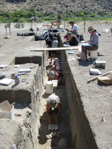
2000–2004

Penn State University
B.A. Geography & Anthropology, GIS certification
Studied at Penn State and earned a Bachelor's Degree in Geography and Anthropology and a Certification in GIS.
2002

Washington State University Archaeological Field School
Eastern Oregon
Excavated prehistoric cultures at the WSU field school in Eastern Oregon.
2003

NSF-REU — University of Southern Maine
Geography / Geology field school
Mapped a colonial town in Maine as part of the NSF Research Experiences for Undergraduates program.
2004

Cartography Technician — Archaeological Research Laboratory
University of Tennessee
Performed data analysis and helped build a GIS database from prehistoric and historic sites associated with State Route 73 (U.S. 321) improvements in Tuckaleechee Cove, Townsend, Tennessee. Also took part in an archaeological survey of the Cumberland National Recreation Area on the Kentucky, Tennessee, and Virginia border.
2004–2007
M.S. Geography — University of Tennessee
Master's thesis on Mississippian settlement patterns
Completed graduate research on location-allocation modeling of chiefdom settlements in the Upper Tennessee River Valley.
2004–2007
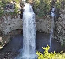
Volunteer — Fall Creek Falls Archaeological Survey
Tennessee
Volunteered on the Fall Creek Falls Archaeological Survey while completing graduate studies.
Printed maps
Undergrad cartography
2000–2004 · NSF REU and related work
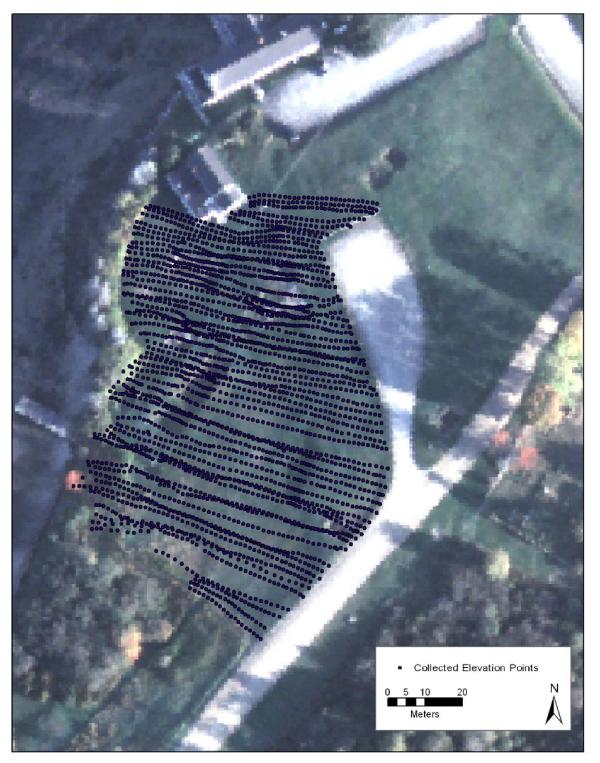
NSF REU
2003
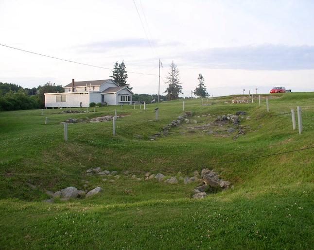
Maps from the NSF REU study area
2003
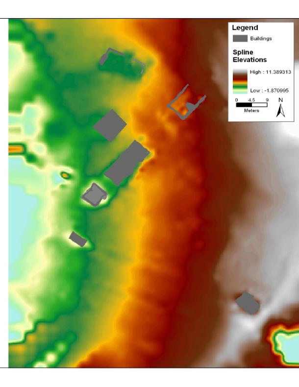
NSF REU
2003
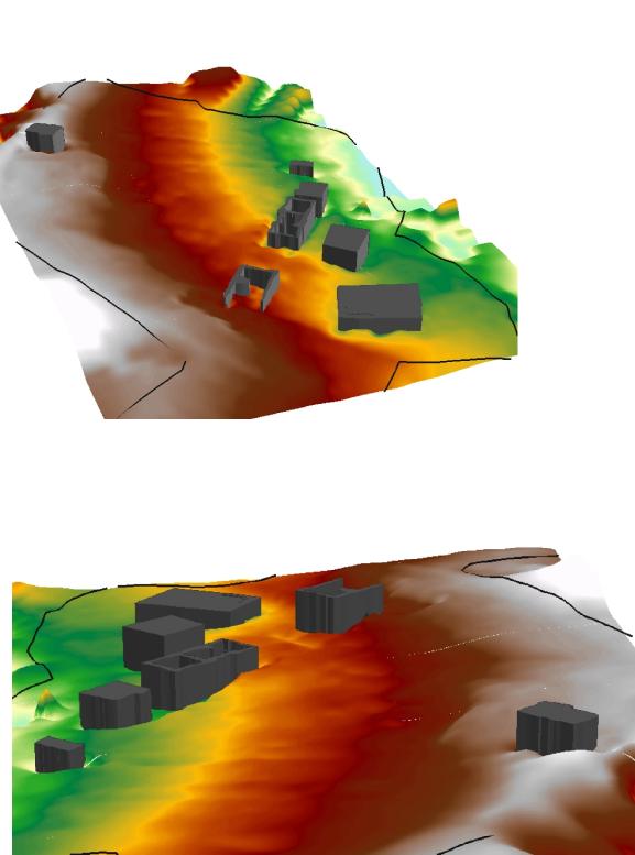
NSF REU
2003
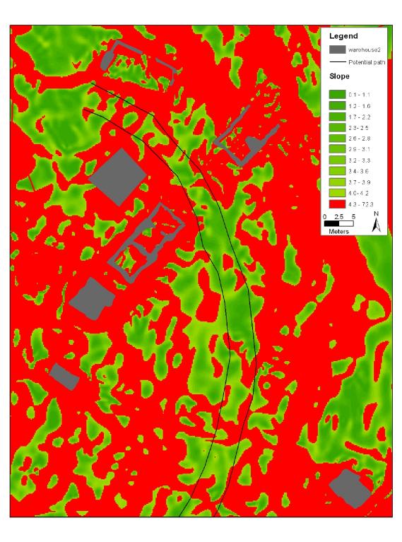
NSF REU
2003
Graduate school maps
2004–2007 · Thesis and papers
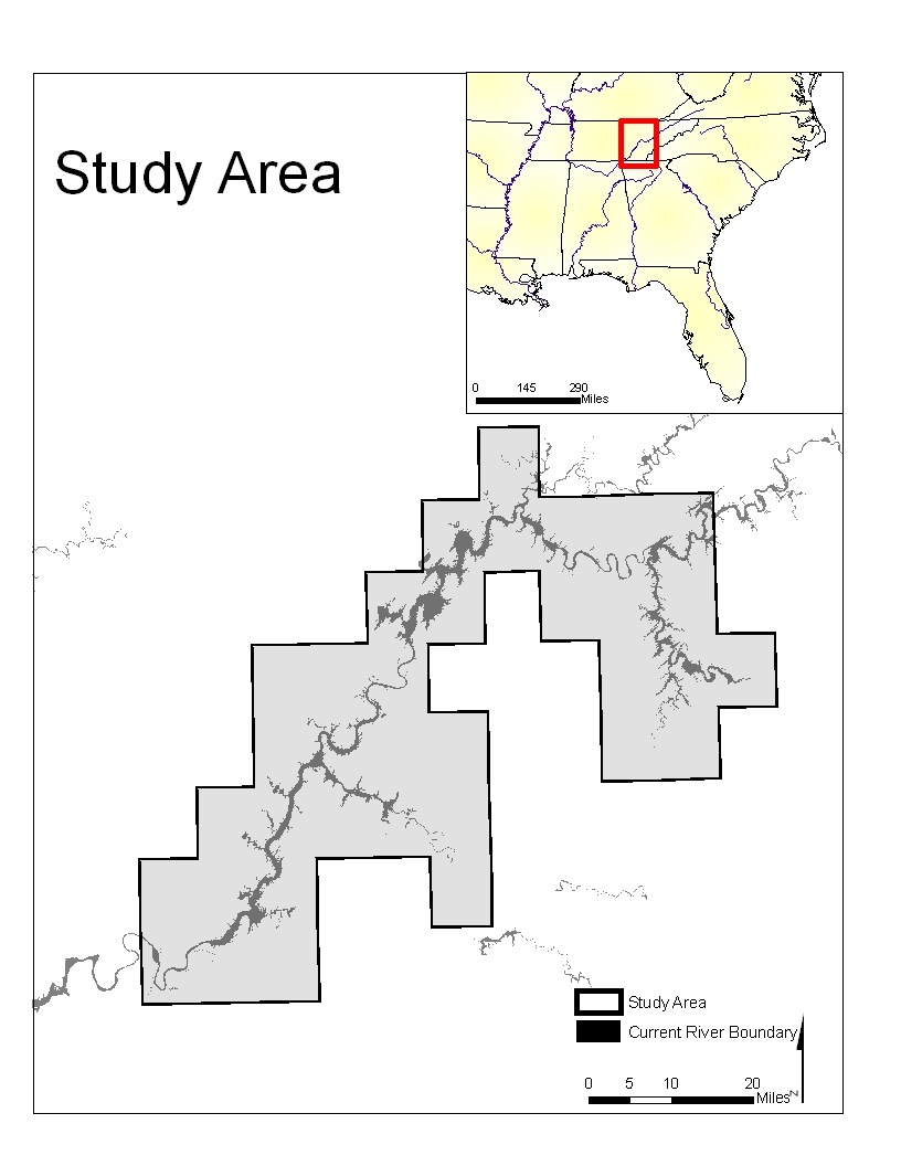
Map for master's thesis
2007
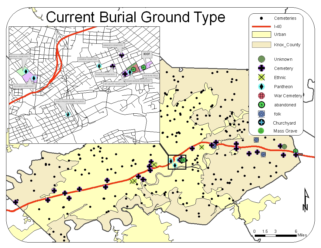
Map for master's paper
2005
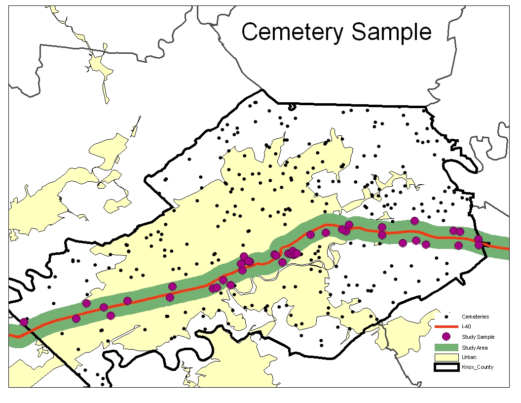
Map for master's paper
2005
ArcGIS Desktop era
ArcPy Production Toolset
An ESRI ArcPy production toolbar / add-in for ArcGIS Desktop workflows — search, merge, and other processing tools built for day-to-day cartography and geodatabase work.
Early Python GIS
Notebooks and tools
Early experiments using Python for data science and GIS — Plotly, GeoPandas, ArcPy, and OSMNX. These are archived notebook exports, not production demos. Desktop-era ArcPy tooling lives in ArcGIS Desktop era above.
- Plotly GDP chart
GDP visualization using Plotly's JavaScript charting.
- GeoPandas quick map
Early geopandas notebook used to produce a map quickly.
- ArcPy search and merge
Search and merge geodatabase feature classes with ArcPy.
- OSMNX street network map
Download OpenStreetMap street data and render a network map.