MapLibre at the core
The SDK sits on MapLibre GL JS, so styles, expressions, and PMTiles workflows transfer. I'm not locked into a closed renderer.
The mapping stack I reach for when the map is the product.
Vector tiles, terrain, weather, geocoding, and a MapLibre-based SDK — one cloud key for prototypes that grow into real GIS apps.
Why MapTiler
I've spent years in ArcGIS Enterprise and cloud GIS. MapTiler is what I use when I want modern web maps fast — open styles, sane billing, and an SDK that feels like writing the web.
The SDK sits on MapLibre GL JS, so styles, expressions, and PMTiles workflows transfer. I'm not locked into a closed renderer.
Basemaps, geocoding, elevation, weather, and terrain mesh from the same Cloud account — enough to ship a globe demo or a field game without wiring five vendors.
I maintain MapTiler challenges and grading tooling against maptiler-skills so coding agents learn the platform the way I use it.
Satellite, outdoor, ocean, and custom PMTiles sit beside Natural Earth and survey GeoJSON — the same stack I use for archaeology games and admin-boundary tools.
Built with MapTiler
Games, labs, grading tools, and boundary surgery — all powered by the MapTiler SDK and Cloud APIs.
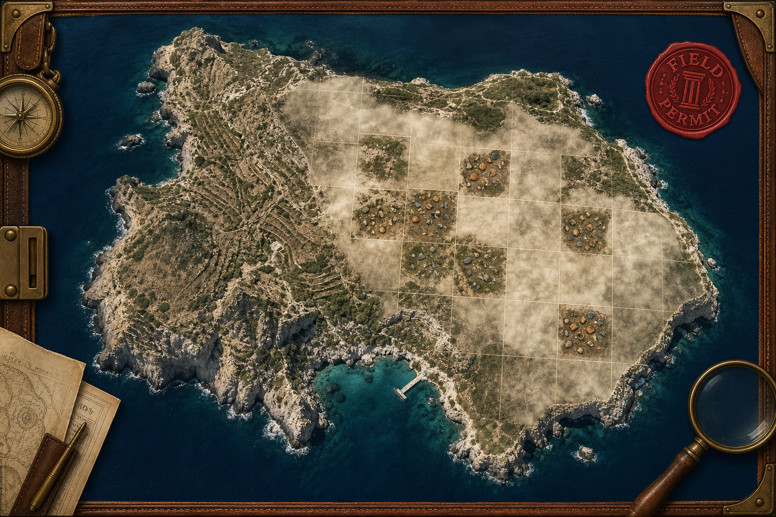
Indiana Jones–flavored dig on real Antikythera Survey Project tracts — fogged GeoJSON, finds overlays, MapTiler satellite, and chapter recovery. Lives in its own GitHub repo.
Play the dig ↗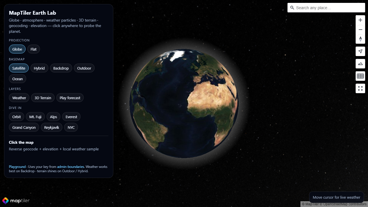
Interactive globe with atmosphere, weather particles, 3D terrain, geocoding, and elevation probes — click anywhere to sample the planet.
Open Earth Lab →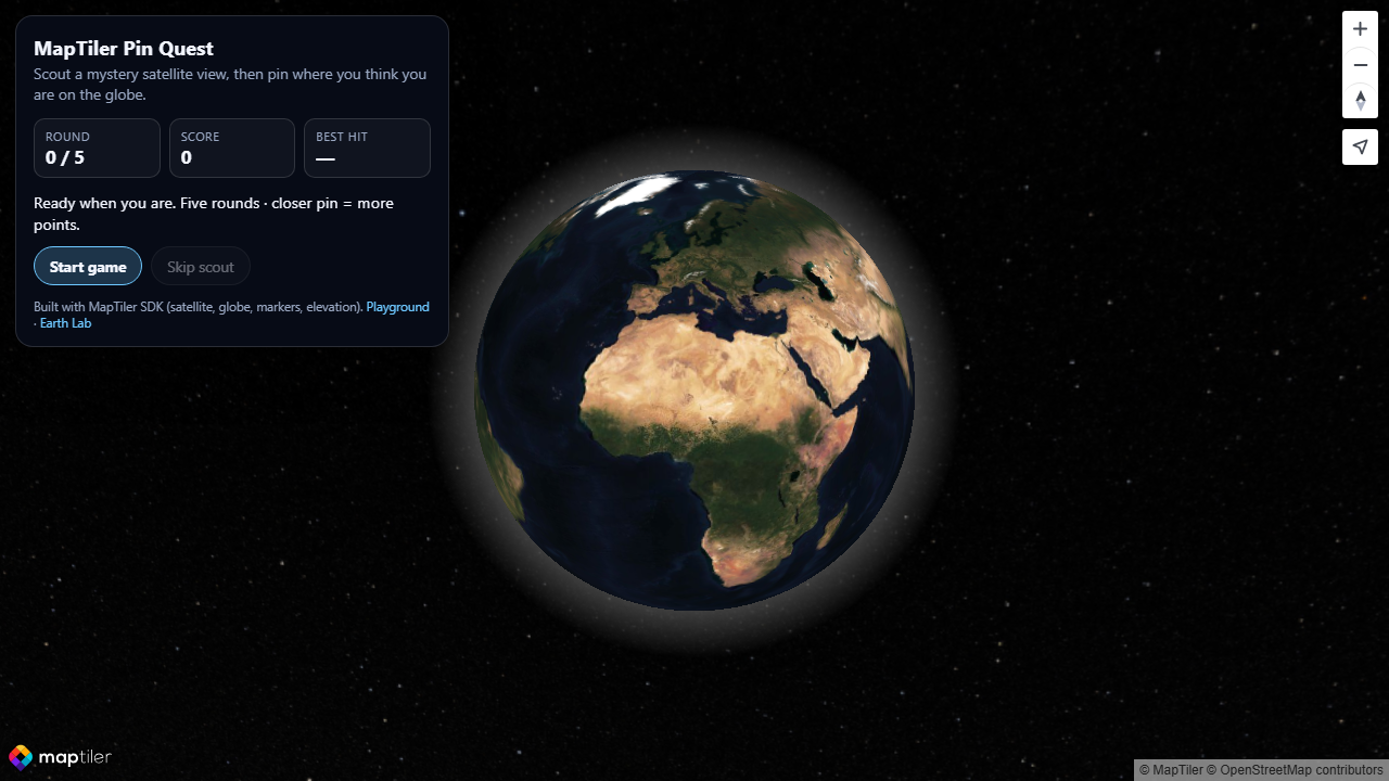
Scout a mystery satellite view, then pin where you think you are on the globe — five rounds scored by distance, built on MapTiler satellite and elevation.
Start Pin Quest →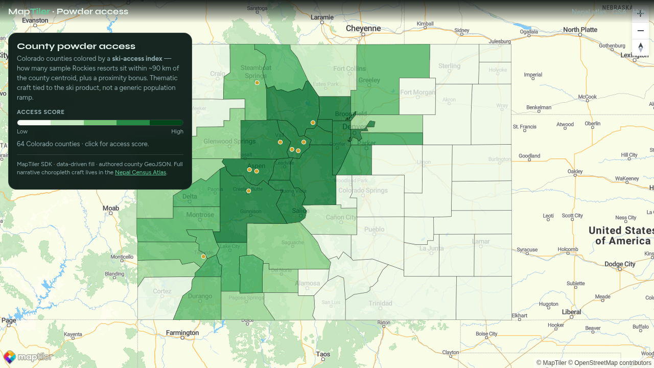
Colorado counties colored by a ski-access index from nearby sample resorts — thematic cartography tied to Global Ski Atlas, not a generic population ramp.
Open choropleth →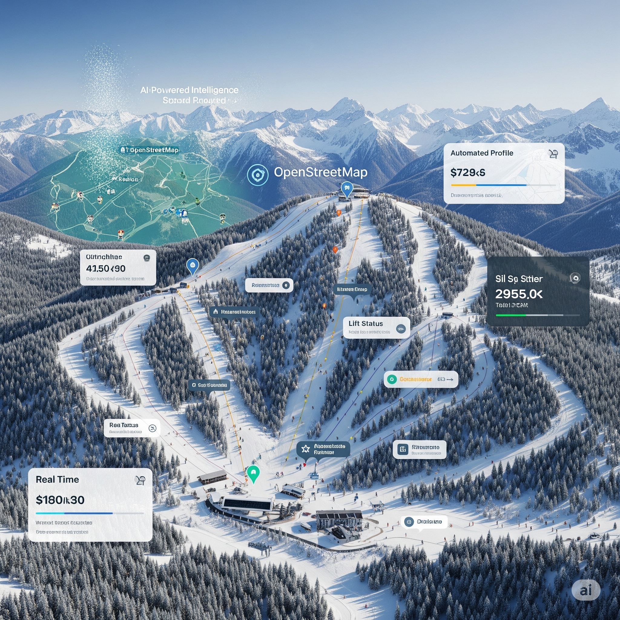
3,000+ ski areas on a MapTiler basemap — Python ETL, JavaScript mapping, and automated geospatial workflows for a live world ski atlas.
Visit globalskiatlas.com →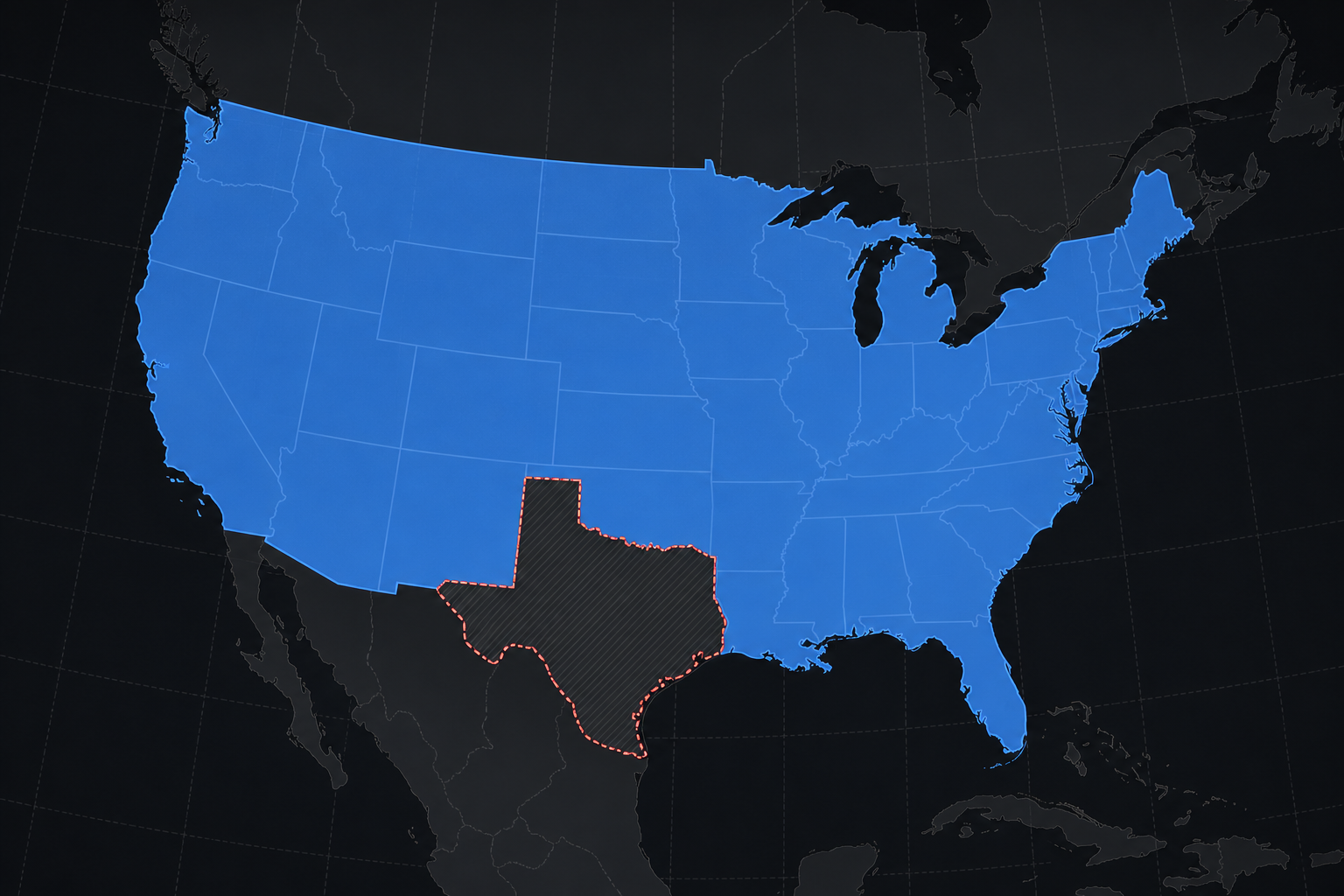
Punch any state or province out of a country polygon for map highlights — MapTiler basemap plus pre-built exclusion GeoJSON.
Open the tool →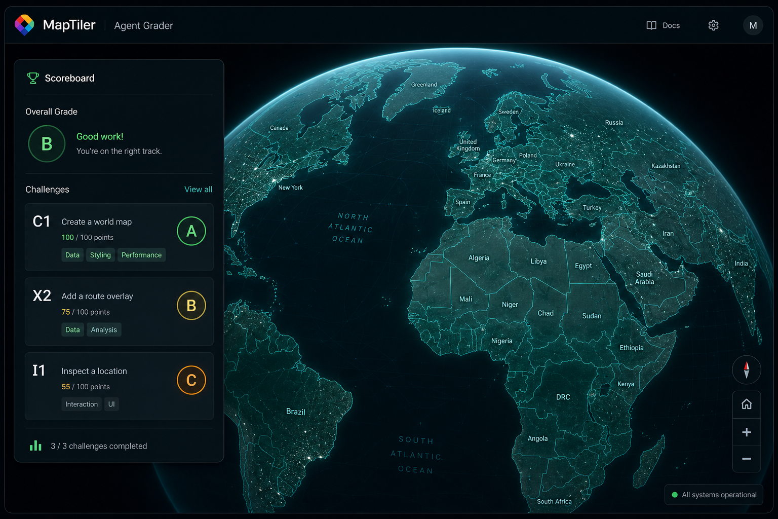
MapTiler & Mapbox skill graders plus the Royal Rumble — moved to a dedicated GitHub project.
Open arena ↗Platform labs
Mapping and cloud playgrounds — each hub explains why I use the platform and links demos as they ship.